| Contract type: | Independent research project |
| Client: | Gerrit Tombrink |
| Task: | Investigations of the Buri Gandaki river (Nepal) system |
| Time period: | 2015 to 2017 |
| Technologies: | Lightroom, Photoshop, fieldwork, Remote Sensing, QGIS and GRASS GIS |
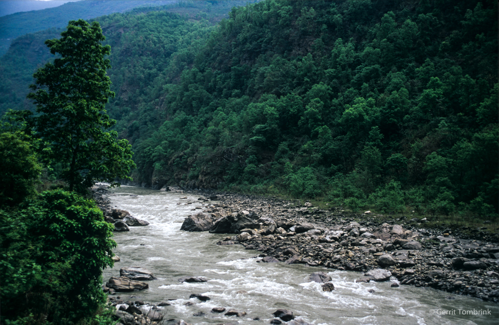
This research examines flood events and related human interactions in the northwestern Himalayan Buri Gandaki Valley (Nepal). Past flood events could be examined and reconstructed by fluvial geomorphological analyses:
In addition to discharge measurements from the upper reaches to the lower reaches of the Buri Gandaki River, the infrastructure and permanent and temporary settlements potentially influenced by floods in the region due to their proximity to natural hazard areas were mapped. Photographic documentation of flood indicators, which illustrate the evolution of this landscape over a short period of time in the Holocene, serve as evidence. In addition, satellite images and river system models confirm the morphological findings of the field research.

For more details on the results, see the relevant publication .
