Tierra del Fuego
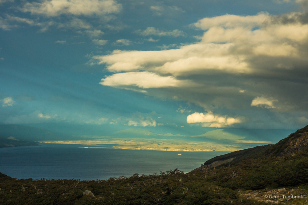
Tierra del Fuego is separated from mainland South America by the Strait of Magellan. The southern group of islands includes Isla Navarino. Typical for this island are very changeable weather conditions, including strong winds. During the ice ages, this region was covered by glaciers. The glacial landforms can confirm this. During an expedition in 2014, […]
Patagonia
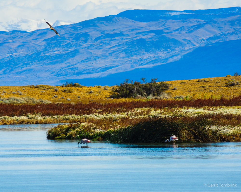
The Patagonia region covers the southern areas of Chile and Argentina and begins north of the Strait of Magellan. It is known for its harsh and cold winters and strong winds. These may be due to various factors, such as the topography of the Andes, distances to the sea, and proximity to glaciers. The landscapes […]
West Himalaya

The Western Himalayas border the Karakoram mountain system, forming the highest peaks on earth. As in the central Himalayas, the valleys contain deposits from the last ice ages and warm periods. Human influence on river systems and valley shaping is equally evident here. The basis of these photographs is documentation of research trips, which led […]
Central Himalaya
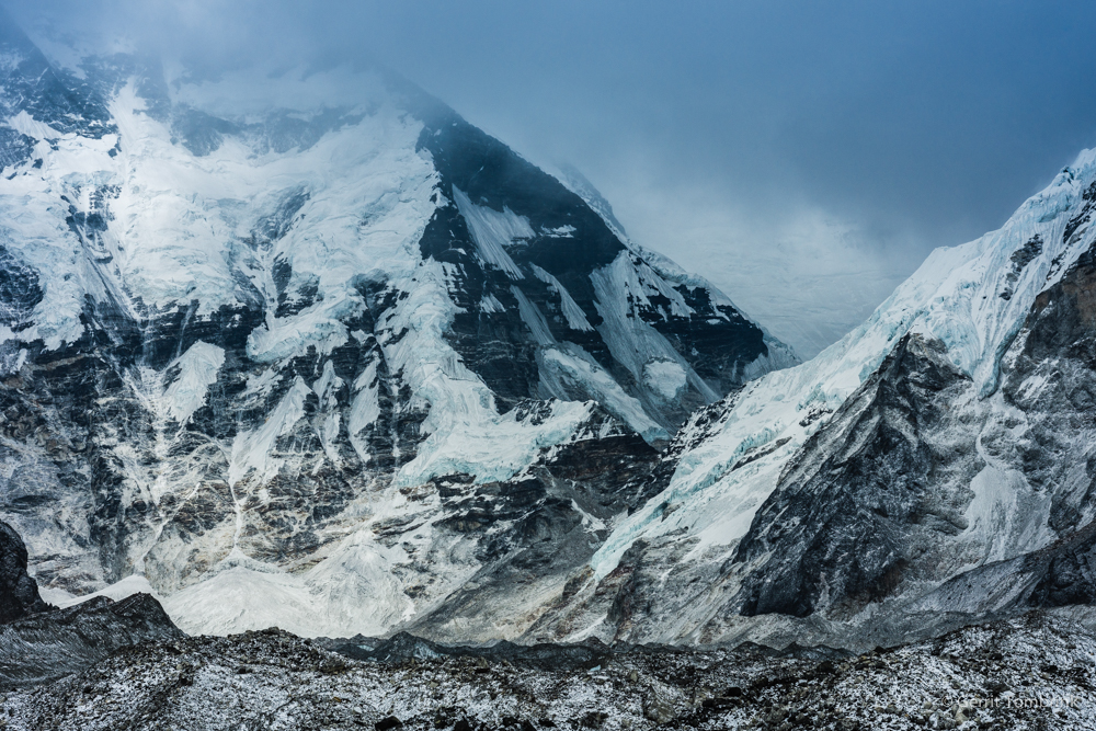
The Himalayas belong to the highest mountain system on earth. During the ice ages, glacier tongues extended from the Tibetan Plateau to the Himalayan foothills. This is confirmed by erratic blocks and moraine stands in the Nepalese valleys and the adjacent mountain foothills. In recent years, the age and extent of glaciations have been discussed […]
Alps
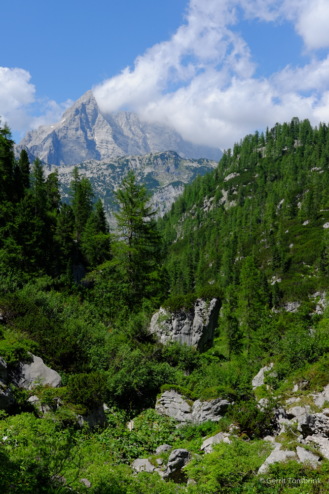
The Alps, a mountain range in Europe, were reshaped by glaciers during the last ice ages. In the northern foothills of the Alps, the glacier tongues reached as far as Munich and left behind numerous glacial lakes, such as Lake Chiemsee, during the glacial melting phases. Currently – that is, during the Anthropocene epoch – […]